Chicago had its 4th-warmest December in history last month, with temperatures averaging about 4°C above normal. The trend has continued this month as well. That won't completely end tonight, though we may see some snow:
The first “significant” winter storm to impact the Chicago region is scheduled to start Monday night, with meteorologists predicting two to five inches of snow accumulation and wind gusts up to 30 miles per hour across portions of central and northeast Illinois and northwest Indiana.
A winter weather advisory goes into effect at 8 p.m. until noon Tuesday in the Chicago metro area as well as parts of DuPage, Will and Lake counties.
The storm will likely be split into two rounds, according to the NWS. The first will arrive this evening starting around 8 p.m., with much of the snow accumulating in a brief window from 1 to 5 a.m., just before the early morning commute.
Lovely. But a few centimeters of snow won't bother either Cassie or me tomorrow morning, especially if the temperature stays freezing, as forecast.
Next weekend, though, looks like it might feel more like Real Chicago Winter, with temperatures dropping to -13°C overnight Saturday. I, however, will be in the Pacific Northwest, where...dammit. Temperatures will drop to -6°C overnight Saturday. (I thought Seattle was supposed to be warmer than Chicago?)
Sigh:
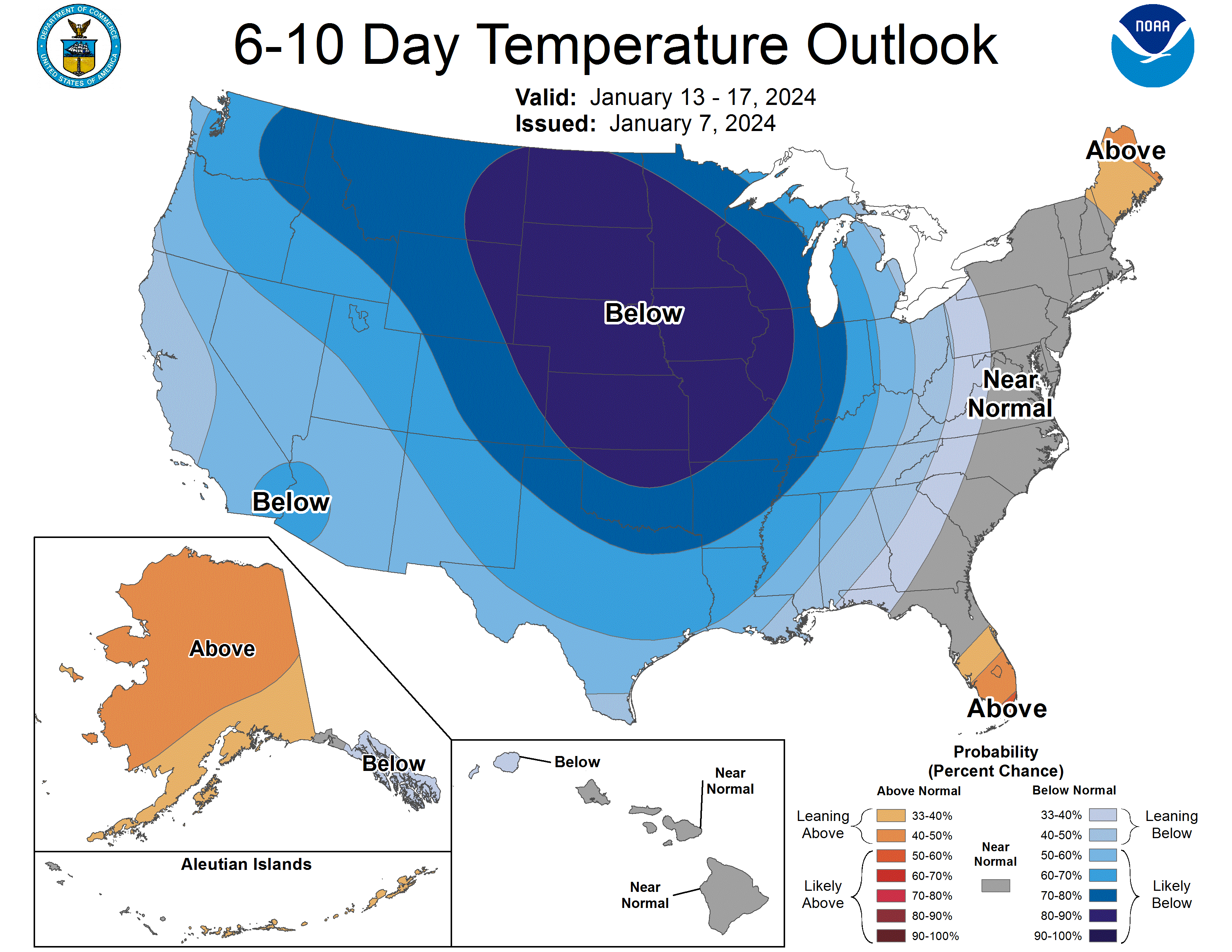
I have to remember that the normal temperature curve for Chicago bottoms out from January 17th to 23rd. So it will get colder this winter. I'll take the win for December and just remind myself that our winters build character.